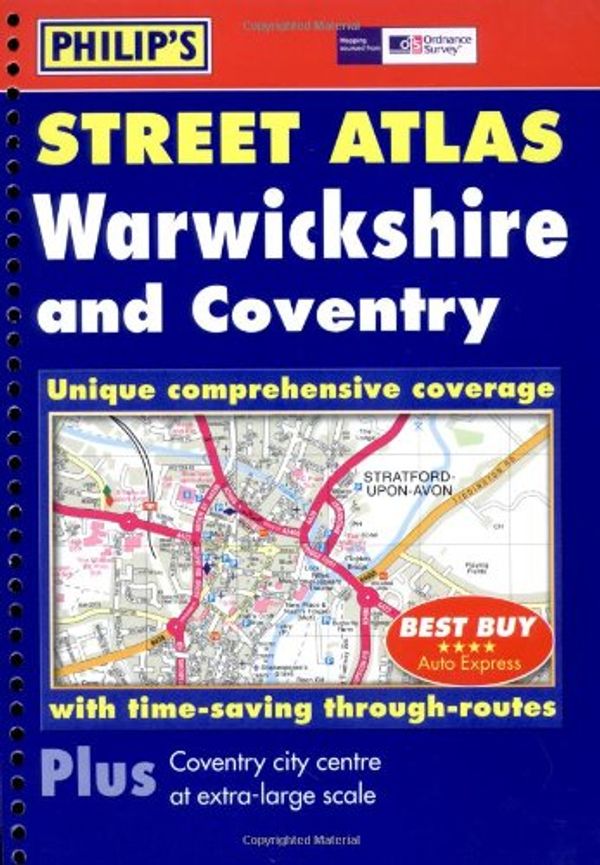
Philip's Street Atlas Warwickshire
Philip's Street Atlases
Philip's Maps

| ISBN: | 9780540087587 |
| Publisher: | Octopus Publishing Group |
| Published: | 28 March, 2006 |
| Format: | Spiral-bound |
| Language: | English |
| Editions: |
2 other editions
of this product
|
- Bedfordshire and the County of Huntingdon and Peterborough
- Berkshire
- Buckinghamshire
- Cambridgeshire
- Cornwall
- Cumberland and Westmorland
- Derbyshire
- Durham
- Essex
- Gloucestershire: The Cotswolds
- Gloucestershire:The Vale and the Forest of Dean
- Hampshire and the Isle of White
- Herefordshire
- Hertfordshire
- Leicestershire and Rutland
- Lincolnshire
- London
- London (The Cities of London and Westminster)
- London: except the cities of London and Westminster.
- Middlesex
- North Devon
- North East and East Kent
- North Lancashire
- North Somerset and Bristol
- North-east Norfolk and Norwich
- North-west and south Norfolk
- Northamptonshire
- Northumberland
- Nottinghamshire
- Nottinghamshire
- Shropshire
- South Devon
- South Lancashire
- South and West Somerset
- Suffolk
- Surrey
- Sussex
- Warwickshire
- West Kent and the Weald
- Wiltshire
- Worcestershire
- Yorkshire: The North Riding
- Yorkshire: The West Riding
Philip's Street Atlas Warwickshire
Philip's Street Atlases
Philip's Maps
A colour atlas of Warwickshire that gives a comprehensive, detailed coverage of both the rural and urban regions. The mapping is based on Ordnance Survey data, and is accompanied by postcode boundaries. The main maps show named roads, streets and lanes with through-routes highlighted. This atlas is useful for both business and leisure use.
Shop Preferences
Customize which shops to display. You can include the following shops by logging in to change your settings.


