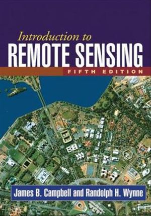
Introduction to remote sensing
James B. Campbell
Now in a revised and updated fourth edition, this popular text introduces students to widely used forms of remote sensing imagery and their applications in plant sciences, hydrology, earth sciences, and land use analysis. Providing comprehensive coverage of principal topics in the field, the book’s 4 sections and 21 chapters are carefully designed as independent units that instructors can select from as needed for their courses. Illustrations include 28 colour plates and nearly 400 black-and-white images and figures. New in the Fourth Edition: New chapter devoted specifically to lidar Coverage of phenology and plant pathology applications Revised examples and illustrations in the Image Interpretation chapter Restructured chapters on GIS, Land Use and Land Cover, and Earth Sciences, designed for practical utility
Booko found 9 book editions
Product filters
Booko collects this information from user contributions and sources on the internet - it is not a definitive list of editions. Search Booko for other editions of Introduction to remote sensing.


